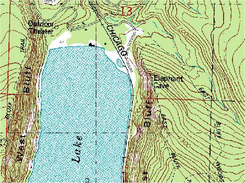
 A digital raster graphic is an image scanned of a USGS standard topographical map. The image is geo-referenced and fits to the UTM projection. The data matches the sources map and uses a minimum of 250 DPI resolution.
http://www.forestpal.com/images/drg.gif
No comments:
Post a Comment